Blue
Mountains mtb rides
|
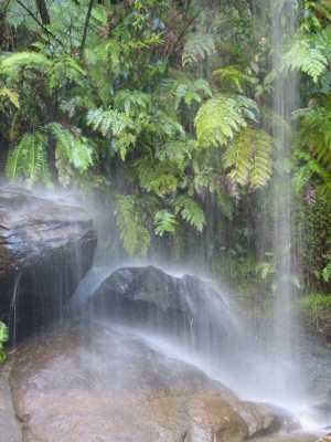 |
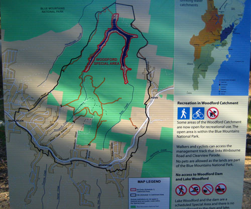
Newsflash 7/09/2009Lake Woodford has been opened up. well, not the Lake itself, but what was previously catchment area nearby is now legal for riding and walking - no dogs or motor vehicles. The legal stuff is all firetrail, and shown on maps currently hanging on the gates. You're still not allowed in the dam, which is a pity, because I reckon it would be tops on a hot summer's day. (larger pic) Warning: It's not entirely clear to me if we're allowed to ride the track beside the dam. The map shading suggests that some of the track is OK, and some isn't, but the text says "Walkers and cyclists can access the management track that links Winbourne Road and Clearview Parade." The only track shown joining these roads is the track that runs past the dam. Also, the map legend (see larger picture) shows the track colour as being OK to ride. I'm hoping that means the map isn't drawn that well, and the text is correct. However, you should check with the SCA or NPWS - just because I think it might be OK to ride doesn't mean it is. The SCA and NPWS web sites haven't helped me decide.
|
Update (10/09/09): I rode down the "management track that links Winbourne Road and Clearview Parade" to investigate. there are no signs at any point indicating no access, until you get to the water. Signs then appear approximately every 50m between the edge of the road and the dam, quite clearly indicating that it's the dam and its edges we must avoid. But damn (dam?) it was a big climb (read as "walk") out - 131m lost in one km, and soon after, 131m gained on a different one km hill.
|
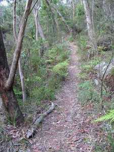 |
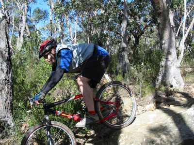
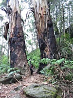
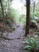
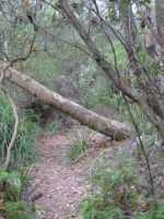
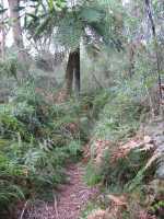
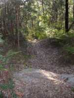
The Blue Mountains has heaps of tracks, some that are overgrown, log blocked, leech infested nightmares, and some that are sweet, sweet riding. You'll have to put some serious effort in - almost all involve steep climbs, and the best I've found involve some walking or carrying bikes up steep rough hills. If you ride on less well known tracks, take it easy and be prepared and self sufficient - unlike the more popular tracks, you mightn't see anyone else all day. Make sure you let someone know where you're going - if you fall off you might not get found otherwise... Often these tracks are only short, linking with other tracks via road, however the terrain means rides can still take a long time. |
So why I am I telling you this if I'm not giving directions? Because I am going to tell you how to find them. No, no, not specifically, just generally.
The first thing to do is to suss out a likely area. Most towns in the Blue Mountains and areas on the urban fringes have roads running to the ends of ridges, or to patches of scrub. Get hold of the relevant topographical map (topo) to find likely dirt roads and firetrails - many of these degenerate into tracks or have tracks running off them. If you're lucky, the firetrails may have overgrown into singletrack. If you learn how to read topos you'll know what terrain to expect. The latest series have aerial photo maps on the reverse - it's even easier to find promising tracks and read the terrain. You can get topos in newsagents, outdoor shops and many servos.
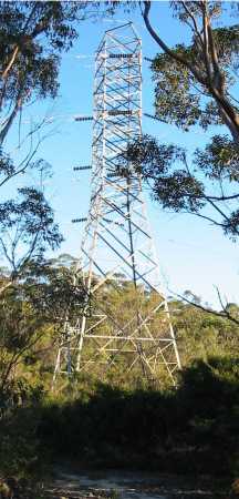
Other possibilities are powerlines - not so much the little ones, although they do have maintenance tracks, but the big ones. Yup, those towering steel monstrosities you see marching across the wilderness. There's always tracks under these powerlines, but many only run till the edge of the nearest gully, with an unrideable gap before they start again on the next ridge. <rant>It's somewhat amusing that some of these powerlines are in catchment areas where bikes are definitely not allowed due to potential pollution issues (yeah, right), but the power company's trucks and 4WDs are welcome. They get in every now and then and chop all the trees down under the lines for a firebreak as well - but no bikes...<end rant> Luckily not all the powerlines are in catchment, as they provide a wealth of riding in some very rugged terrain. |
 |
Don't forget to ask around - locals are often in the know. Some tracks are well known to different sections of the riding community, but are only advertised through word of mouth. Clubs are usually a good source of info. Google Earth can be the track finder's friend, but what looks good from above may be unrideable.
| Not all the tracks are on the map, and the best almost certainly aren't. The best way to find them is to get out there and explore. Explore, explore, explore. You never know what that track will turn into - sometimes it will be a dud, boring, or an unrideable nightmare, sometimes just average, but sometimes it'll be magic - and those are the rides we live for. |
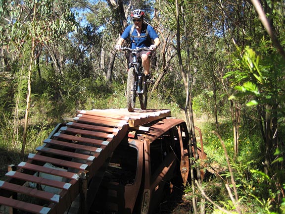
You never know what you'll find out there
If you do go exploring and find these places, remember that we want to keep riding them. Ride responsibly, be aware of other users, stick to the track and take your bloody rubbish OUT with you!! All of it! Don't ruin it for everybody!
finding a sweet ride all for yourself can rate up to 5 fat hippies
![]()
![]()
![]()
![]()
![]()
All rides are now rated in Fat Hippies - one means grab a slice of pizza
and stay on the couch, two means not bad, three means well worth a ride, four
means a great ride and five means stop looking at your computer, go ride it!
| Distance | as long as you like |
| Difficulty | easy to very hard - may need to walk some uphills and downhills. Surfaces often loose and rocky. Can be hard to find. May be travelling through remote country. May not be legal to ride. |
| Time | variable |
| Trains | all stations |
| See also... | the not secret tracks |
| Interest | lookouts, swimming holes, bushwalks, waterfalls, other tracks, aboriginal sites |
| Ridden | you never know... |
| Reviewed | ongoing |
![]()
another fAt hIpPy production
